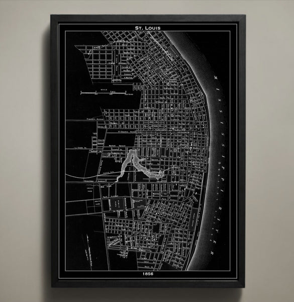
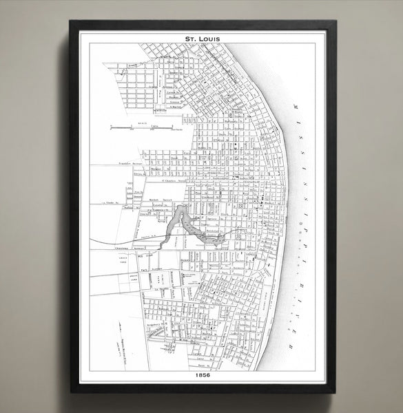
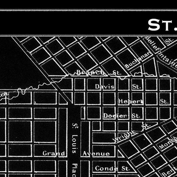
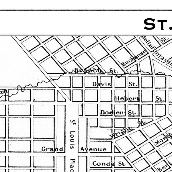
Map Print, ST. LOUIS
$29.00
This vintage 1856 St. Louis map details the city towards the end of its rapid growth between the years of 1840 and 1860. Within those two decades St. Louis grew from a quaint city of 20,000 to a bustling city of 160,000. Our St. Louis city map is printed on premium archival stock with a 1/2 inch border around the map's edges for easy framing.
————————————————————————
Vintage Map Print Sizes Available
18” x 24” $29
24” x 36” $63
36” x 48” $118
Frame not included.
© Copyright 2013 GeoArtShed. Artwork may not be reproduced or resold
Related Items

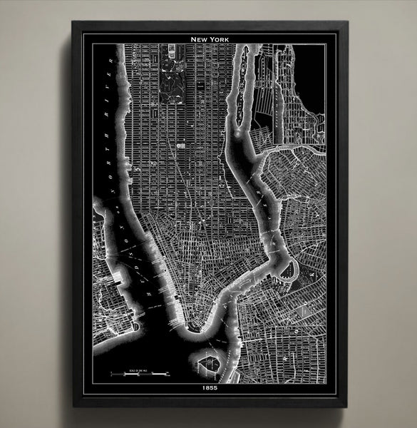
Map Print, NEW YORK CITY
$29.00
The black version of our magnificent New York City map print highlights the abstract detail of this piece of art and the original cartographer's work. Its white version makes the streets, waterways and bridges jump out at you. Whether you're drawn to the black or the white city map prints, there's no mistaking what city is depicted in these maps. Those who love NYC will enjoy discovering it block by block. All of our map prints are printed on high quality archival paper that will last a lifetime. This 1855 New York City map print will take you back in time and add character to any wall in your home or office. If you are looking for another city to pair with our New York City map print you can view our entire collection of map prints here:
Frame not included.
© Copyright 2013 GeoArtShed. Artwork may not be reproduced or resold
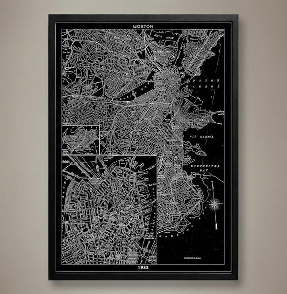
Map Print, BOSTON
$29.00
This historical Boston map print is a recreation of an original map created by an extremely well known topographer in 1922. This vintage style map was reimagined in the form of a Boston poster but the original lines and details have been preserved using high quality cardstock and premium ink. Boston was entering a period of decline at the time of this maps creation and a renewal project was set to ramp up commerce once more. This Boston poster lets you examine the streets from a distance and close up and will immediately bring to mind cobbled walkways, thick accents, and a historical pride that can only be found among the people of Boston, Massachusetts.
The purchase of this listing is for one Boston city map print with the following specifications and options:
Style: Map of Boston, Massachusetts (Circa 1922)
Sizes available: 18 x 24, 24 x 36 or 36 x 48 inches
Colors available: Black or white
Materials: 100# premium card stock
Please note the purchase of this Boston poster does not include a frame. Your map of Boston poster will be mailed via USPS First Class and preserved in a durable shipping tube. If you would like to continue to shop for more Boston home décor, Massachusetts home décor, or map prints for a different city you may return to the GeoArtShed by clicking the following link: City Map Prints
© Copyright 2013 GeoArtShed. Artwork may not be reproduced or resold.